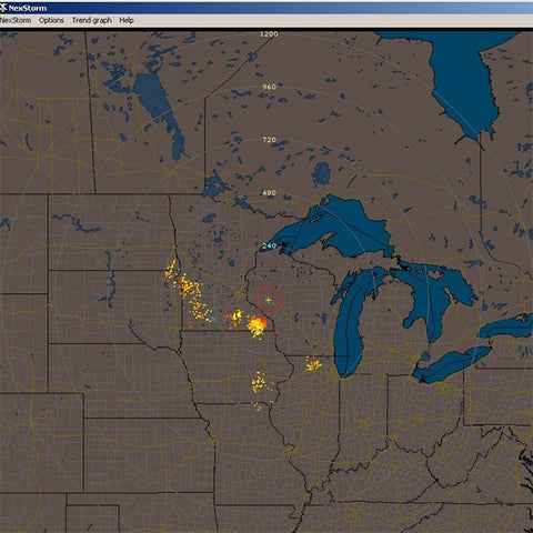
With a CVM map installed, you don't need to ever again worry about using another map for NexStorm or related products. One CVM file contains all the data for the available NexStorm view ranges for your specific location, from the maximum 1200 km/750 mi down to 25 km/16 mi view range. You can select to view any of the available zoom levels without having to worry about map image quality loss.
Once you have decided that the NexStorm CVM Background Map is for you, please enter the longitude and latitude to which your CVM should be centred to in the box provided. When we have received your order a map will be custom generated and emailed to you electronically.
The new "Map snapshot" feature in NexStorm lets you easily export different view ranges (zooms levels) to arbitrarily sized BMP images so that you can use your map in other applications such as StormVue.
NexStorm allows you to change the CVM map colours from within the application, to select which of the available layers to hide or show and to adjust the centre point in case it is required. All of this is easily done by accessing the Vector map configuration dialog.
The data file for a CVM vector map consists of X and Y coordinates indicating where the vector paths start and end and the colours that border and in some cases fill the produced graphic shapes. Two types of graphic objects are supported, they are polygon objects that have user configurable border and fill colours and polyline objects that only consists of lines.
Because vector graphics are coordinate based, the images can be scaled to virtually any size without losing image quality. Raster based graphics, on the other hand, become increasingly blocky or pixelated with each higher magnification factor.
Professional GIS (Geographic Information Systems) applications extensively use various vector data formats for map presentation. This CVM Background Map format was specifically designed for use in NexStorm and as such it is adapted and optimized for this purpose.